دعو الأصدقاء واحصل على عملات مجانية لكم جميعًا

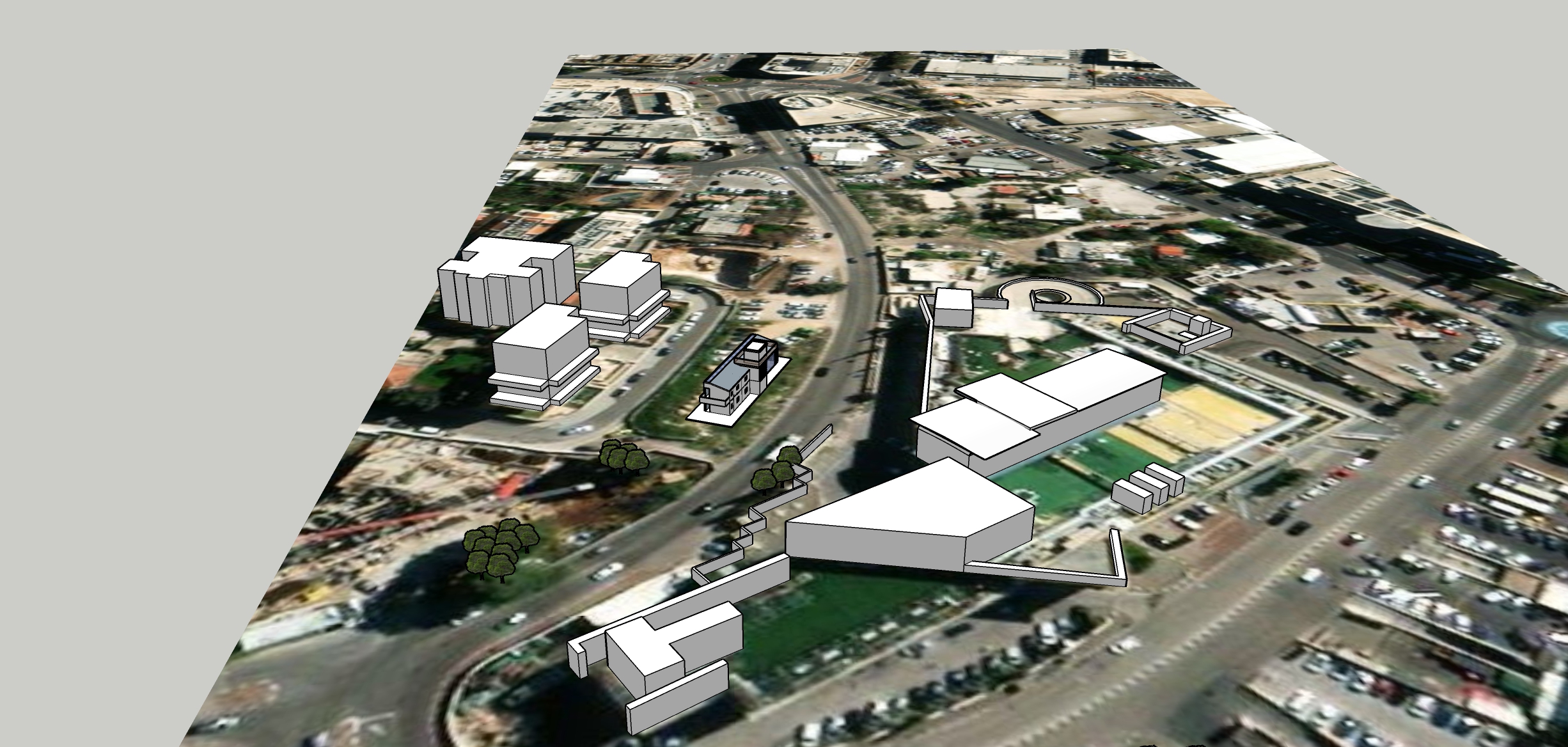
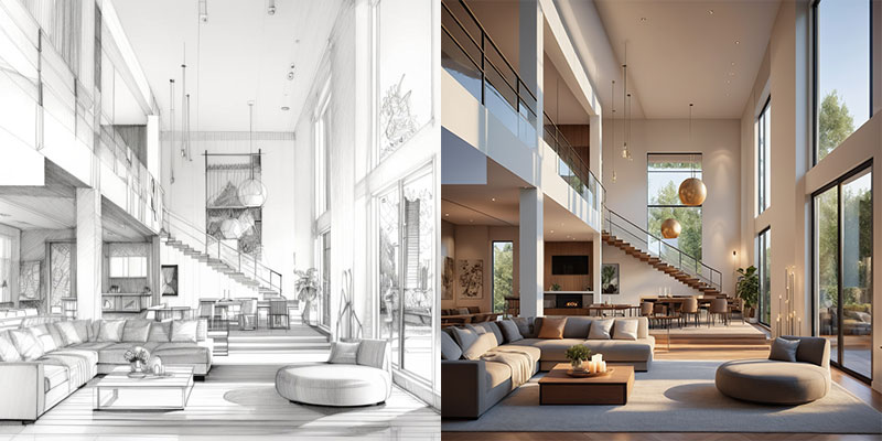
an aerial view of the home from above
5621
robert ziadeh
تصيير الرسم
v2 
Create a 3D urban planning visualization overlaid on a satellite map, featuring buildings with walls designed to resemble traditional Jerusalem-style architecture. Use white block models with textured stone facades characteristic of Jerusalem, incorporating varying sizes and shapes to represent mixed-use buildings. Include road networks, green spaces with trees, and surrounding infrastructure like pathways and parking areas. The perspective should highlight an intersection and nearby developments, blending historical architectural elements with modern urban planning.

الأسلوب:
التصوير الفوتوغرافي-واقعي
مشهد:
مبنى سكني
وضع:
هيكل
الإبداع:
40
تلميح سلبي:
no sea
0
ريمكس
0
أعجبنيلا توجد بيانات حتى الآن
محتوى مشابه أكثر
an aerial view of the home from above
5621
robert ziadeh
تصيير الرسم
v2 
Create a 3D urban planning visualization overlaid on a satellite map, featuring buildings with walls designed to resemble traditional Jerusalem-style architecture. Use white block models with textured stone facades characteristic of Jerusalem, incorporating varying sizes and shapes to represent mixed-use buildings. Include road networks, green spaces with trees, and surrounding infrastructure like pathways and parking areas. The perspective should highlight an intersection and nearby developments, blending historical architectural elements with modern urban planning.

الأسلوب:
التصوير الفوتوغرافي-واقعي
مشهد:
مبنى سكني
وضع:
هيكل
الإبداع:
40
تلميح سلبي:
no sea
0
ريمكس
0
أعجبنيلا توجد بيانات حتى الآن


